Parish Panorama Pictures
In
addition to the sequence of pictures taken to form into the panoramic
movie, Denis Griffiths took advantage of the ideal clear conditions
to
capture various close-up shots of features of interest around the
compass.
The captions are an attempt to identify
buildings and compass points. Please let the website manager know of
any inaccuracies, omissions or
missing identifications by this
email link.
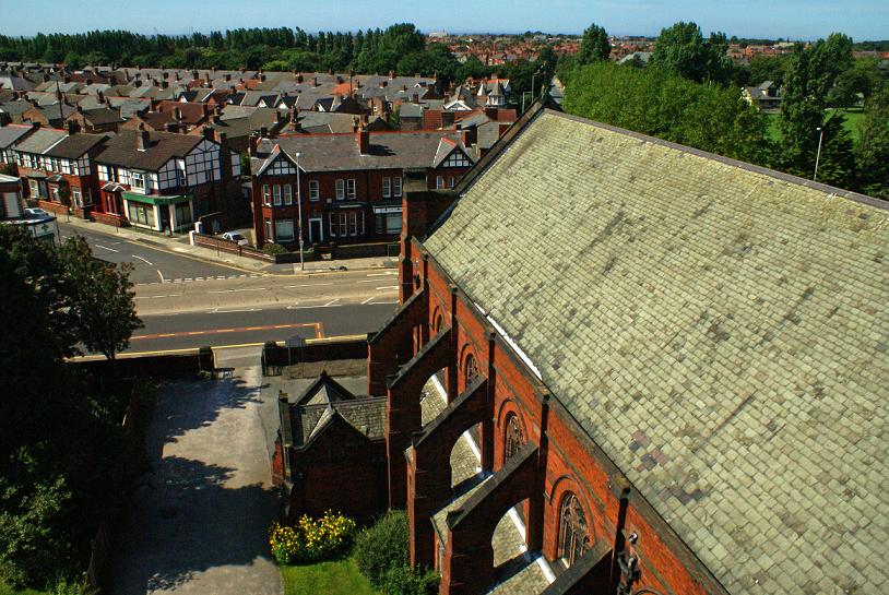
Looking west along the church roof. Fir Road branches off left,
Merchant Taylors' pavilion and field top right

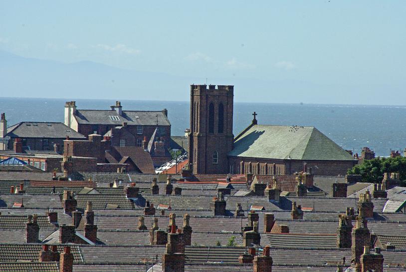
Looking south: a close-up of St John's Church, Waterloo, with the
Wirral coast above the Mersey estuary
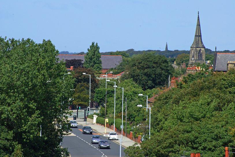
Looking north up Liverpool road, The Bypass (leading to Moor Lane) at
the lights. St Luke's spire, with St Mary's Little Crosby to its left
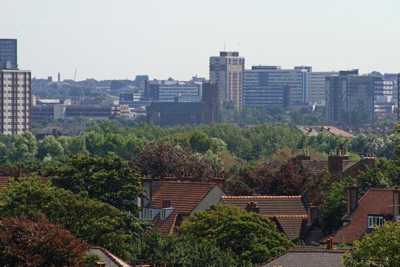
Looking south to a close-up of offices and shops in the Bootle Strand,
withSt James' RC Church, and the Liverpool skyline beyond
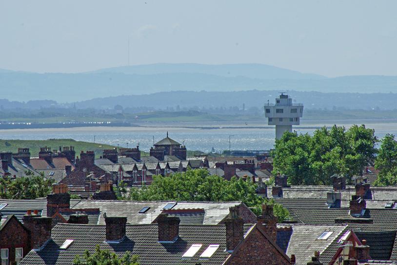
View west of south: the radar tower at the entrance to the dock
complex, New Brighton promenade and the Wirral hills beyond
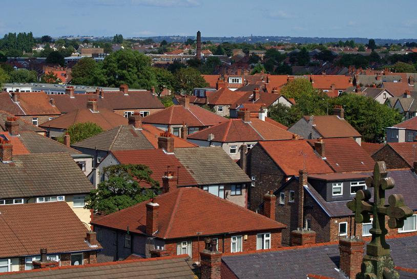
Looking south west over 'The Dales' roofs to St Edmund's R.C. Church

is this St Nicholas, Blundellsands...?
View above the roof cross: Sacred Heart School just visible upper left;
Musker Street industrial estate top centre
Return
to the Parish Panorama page
St Faith's home page